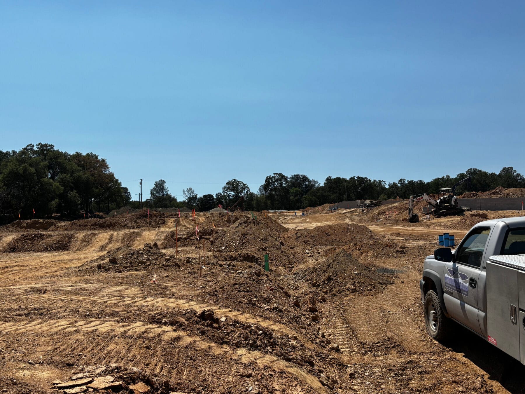
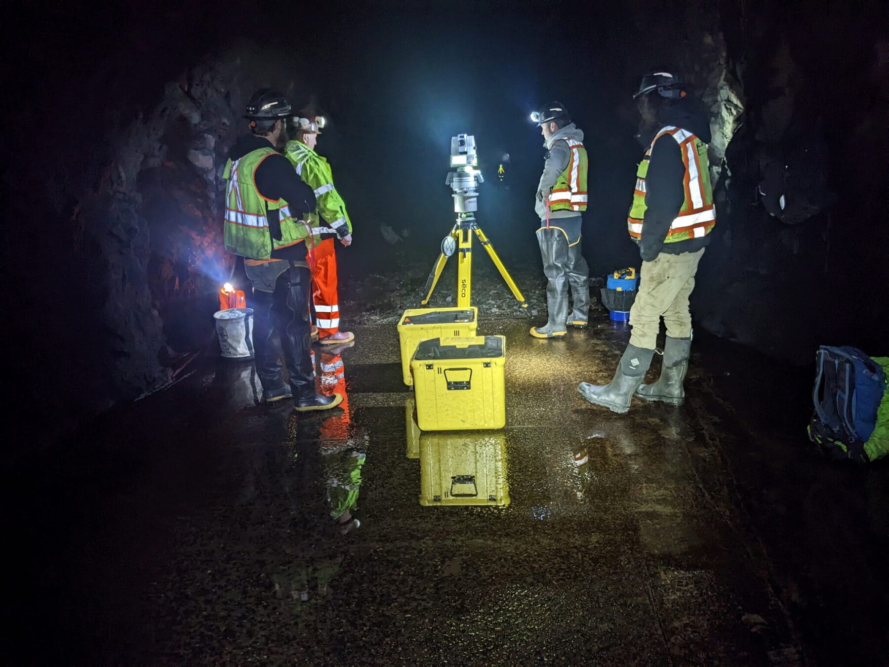
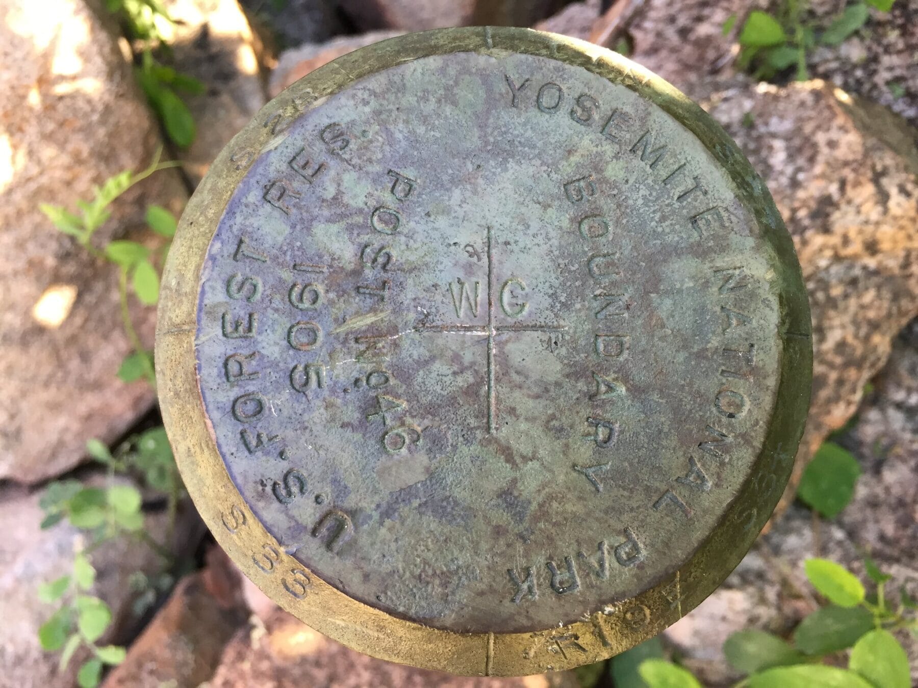
Land surveying services encompass a wide range of functions related to real property boundaries, monumentation, surface topography and mapping. Typical projects include corner recoveries, topographic site plans, aerial mapping, subdivisions, parcel mergers, lot line adjustments, easements, abandonments, construction staking. Our surveying services provide the accurate data necessary for planning, development and construction.
Land Surveying
Contact
Service ARea
Tuolumne County
Sonora • Jamestown • Columbia • Twain Harte • Mi-Wuk • Pinecrest
Calaveras County
Angels Camp • Murphys • Arnold
Our Commitment
Whether working with an individual client or as part of a consultant team we measure success by our ability to earn the loyalty of each one of the clients and the professionals we work with.
Copyright © 2013–2026 Land & Structure • Website by Webdancers